
All photographs and commentary by Kurt Berge, December 2001.
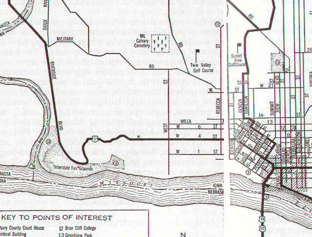
| Segment of a map scanned from The WPA Guide to 1930s Iowa (ISU Press, Ames: 1986). You can see here U.S. 77's old route along W 4th St. and Riverside Blvd from 1938, when this map was originally published. The Bruguier Bridge photos were taken in the area around what is called "Interstate Fair Grounds" in the SW corner of the city, some of which is today's Riverside Park. Mostly this area is covered up by the Interstate 29/Iowa 12 Riverside Blvd. interchange.
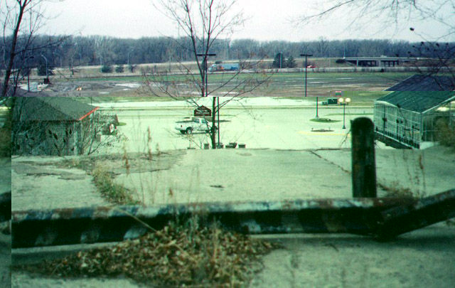
This shot is looking approximately S, overlooking a greenhouse, its parking lot and today's Interstate 29/Iowa 12 (Riverside Blvd.) interchange. From this point atop this low bluff once descended the Bruguier Bridge, which carried U.S. 77 (W 4th St.) into the Big Sioux valley not far from the tri-state until W Gordon Dr opened in 1949 (underneath today's Interstate 29, which replaced that road some ten years later).
| 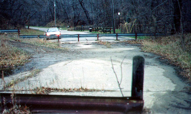
Another shot from the same point as Bruguier Bridge (1st photo), looking approximately northward.
| 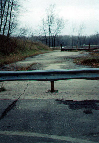
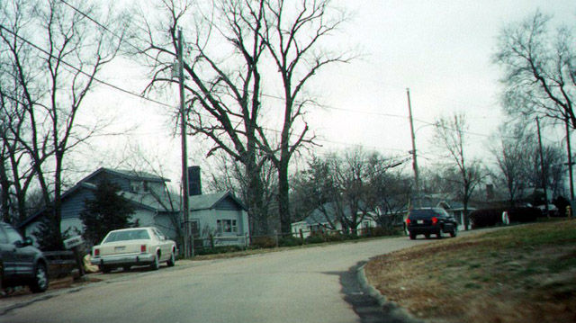
Essentially a long view just north of Bruguier Bridge (1st photo), again looking approximately southward.
| 
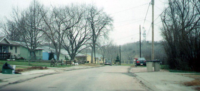
These shots are looking roughly eastward, approximately 1/4 mile northeast of the Bruguier Bridge shots. You can see the blacktop cover on the original road. The houses in this area are probably 1950s vintage. This is about the 4000 block of W. 4th St. in Sioux City, IA.
| 
|
The Lost Highway is copyright © 2005 by Jeffrey Carlyle. All photographers retain rights to their photographs. The Lost Highway was originally developed by Andy Field and Alex Nitzman for AARoads.